The Lane, High Flatts, Nr Denby Dale
Introduction
The photograph on this page of The Lane, High Flatts, Nr Denby Dale by Stanley Walker as part of the Geograph project.
The Geograph project started in 2005 with the aim of publishing, organising and preserving representative images for every square kilometre of Great Britain, Ireland and the Isle of Man.

There are currently over 7.5m images from over 14,400 individuals and you can help contribute to the project by visiting https://www.geograph.org.uk
The Lane, High Flatts, Nr Denby Dale
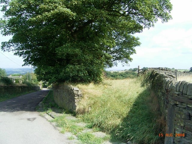
Image: © Stanley Walker Taken: 15 Aug 2006
The lane takes you down to what was a Quaker settlement founded there to escape Cromwell's persecutions in the 1600s, the Meeting House is still in use.
Images are licensed for reuse under creativecommons.org/licenses/by-sa/2.0
Image Location
Latitude
53.561901
Longitude
-1.684432