Horncastle, houses on Water Mill Road
Introduction
The photograph on this page of Horncastle, houses on Water Mill Road by Brian Westlake as part of the Geograph project.
The Geograph project started in 2005 with the aim of publishing, organising and preserving representative images for every square kilometre of Great Britain, Ireland and the Isle of Man.

There are currently over 7.5m images from over 14,400 individuals and you can help contribute to the project by visiting https://www.geograph.org.uk
Horncastle, houses on Water Mill Road
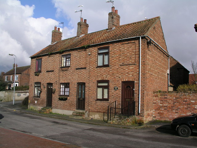
Image: © Brian Westlake Taken: 27 Feb 2011
Houses facing the River Bain. No.2 carries a cut bench mark (http://www.geograph.org.uk/photo/2337503 ).
Images are licensed for reuse under creativecommons.org/licenses/by-sa/2.0
Image Location
Latitude
53.209998
Longitude
-0.116094