Newtown St Boswells
Introduction
The photograph on this page of Newtown St Boswells by Walter Baxter as part of the Geograph project.
The Geograph project started in 2005 with the aim of publishing, organising and preserving representative images for every square kilometre of Great Britain, Ireland and the Isle of Man.

There are currently over 7.5m images from over 14,400 individuals and you can help contribute to the project by visiting https://www.geograph.org.uk
Newtown St Boswells
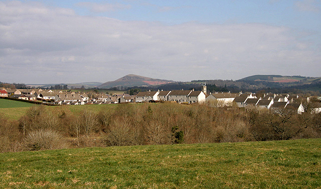
Image: © Walter Baxter Taken: 24 Mar 2011
This village is on the west side of the A68, 7km south of Earlston. Scottish Borders Council has its headquarters here. This is a view from the minor road to Whitelee with the Black Hill in the background centre left.
Images are licensed for reuse under creativecommons.org/licenses/by-sa/2.0
Image Location
Latitude
55.575294
Longitude
-2.675613