Lepers Well
Introduction
The photograph on this page of Lepers Well by John M as part of the Geograph project.
The Geograph project started in 2005 with the aim of publishing, organising and preserving representative images for every square kilometre of Great Britain, Ireland and the Isle of Man.

There are currently over 7.5m images from over 14,400 individuals and you can help contribute to the project by visiting https://www.geograph.org.uk
Lepers Well
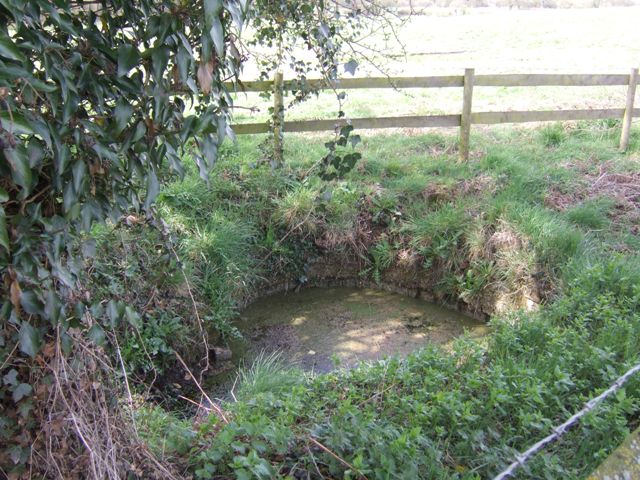
Image: © John M Taken: 2 Apr 2011
Ancient sulphurous well beside Whitehouse Lane. The well is Grade 2 listed.
Images are licensed for reuse under creativecommons.org/licenses/by-sa/2.0
Image Location


Leaflet Map data © OpenStreetMap
Latitude
52.640156
Longitude
-2.192955