
The Gobbins Path, Islandmagee
Introduction
The photograph on this page of The Gobbins Path, Islandmagee by Albert Bridge as part of the Geograph project.
The Geograph project started in 2005 with the aim of publishing, organising and preserving representative images for every square kilometre of Great Britain, Ireland and the Isle of Man.

There are currently over 7.5m images from over 14,400 individuals and you can help contribute to the project by visiting https://www.geograph.org.uk
The Gobbins Path, Islandmagee
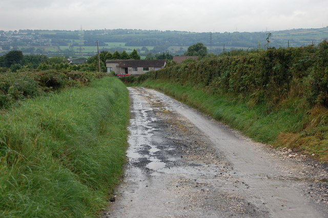
Image: © Albert Bridge Taken: 5 Sep 2006
Berkeley Deane Wise, of the Belfast and Northern Counties Railway, designed a path to follow the basalt cliffs, known as the Gobbins, on the east coast of Islandmagee. It was built between 1902 and 1908. It was a great attraction but its exposed position proved its undoing. During WWII the materials were not available for maintenance. It closed from 1940 until 1951. It re-opened and finally closed (permanently) in 1961 after landslips. Larne Borough Council commissioned a feasibility study for its restoration as a Millennium project but the cost was prohibitive. Alas I have no photos of the path itself – this is merely the path leading to the path.
Images are licensed for reuse under creativecommons.org/licenses/by-sa/2.0
Image Location

Latitude
54.785399
Longitude
-5.692401