Havoc Road
Introduction
The photograph on this page of Havoc Road by Lairich Rig as part of the Geograph project.
The Geograph project started in 2005 with the aim of publishing, organising and preserving representative images for every square kilometre of Great Britain, Ireland and the Isle of Man.

There are currently over 7.5m images from over 14,400 individuals and you can help contribute to the project by visiting https://www.geograph.org.uk
Havoc Road
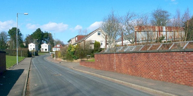
Image: © Lairich Rig Taken: 24 Mar 2011
See Image for more information. The present photograph was taken from a point about 100 metres further along the road, at the point where it passes above the Dumbarton-to-Helensburgh railway line. The turning for Image (a street) is not far ahead, on the right. Further ahead, where a couple of white buildings can be seen on the left, Havoc Road meets the main road (Cardross Road).
Images are licensed for reuse under creativecommons.org/licenses/by-sa/2.0
Image Location
Latitude
55.947257
Longitude
-4.59387