Clach na h-Annait
Introduction
The photograph on this page of Clach na h-Annait by John Allan as part of the Geograph project.
The Geograph project started in 2005 with the aim of publishing, organising and preserving representative images for every square kilometre of Great Britain, Ireland and the Isle of Man.

There are currently over 7.5m images from over 14,400 individuals and you can help contribute to the project by visiting https://www.geograph.org.uk
Clach na h-Annait
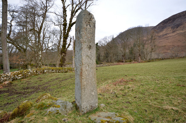
Image: © John Allan Taken: 29 Mar 2011
The stone of the mother church, an impressive 2.4m (7'9") tall standing stone in Kilbride. It is said it was once 30' tall. Sounds pretty unlikely...
Images are licensed for reuse under creativecommons.org/licenses/by-sa/2.0
Image Location
Latitude
57.209837
Longitude
-5.993384