Kirkton Road
Introduction
The photograph on this page of Kirkton Road by Lairich Rig as part of the Geograph project.
The Geograph project started in 2005 with the aim of publishing, organising and preserving representative images for every square kilometre of Great Britain, Ireland and the Isle of Man.

There are currently over 7.5m images from over 14,400 individuals and you can help contribute to the project by visiting https://www.geograph.org.uk
Kirkton Road
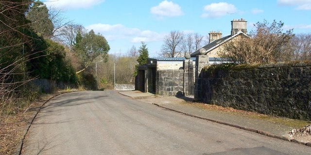
Image: © Lairich Rig Taken: 24 Mar 2011
This is part of the Kirktonhill area of Dumbarton. The photograph is a view towards the junction with Image Ahead, on the left, near the junction, a tree can be seen projecting out over the pavement. On closer inspection, it appeared to be a eucalyptus. Compare Image, a view in the opposite direction from the same point.
Images are licensed for reuse under creativecommons.org/licenses/by-sa/2.0
Image Location
Latitude
55.943959
Longitude
-4.579715