2011 : Looking down Ram Hill
Introduction
The photograph on this page of 2011 : Looking down Ram Hill by Maurice Pullin as part of the Geograph project.
The Geograph project started in 2005 with the aim of publishing, organising and preserving representative images for every square kilometre of Great Britain, Ireland and the Isle of Man.

There are currently over 7.5m images from over 14,400 individuals and you can help contribute to the project by visiting https://www.geograph.org.uk
2011 : Looking down Ram Hill
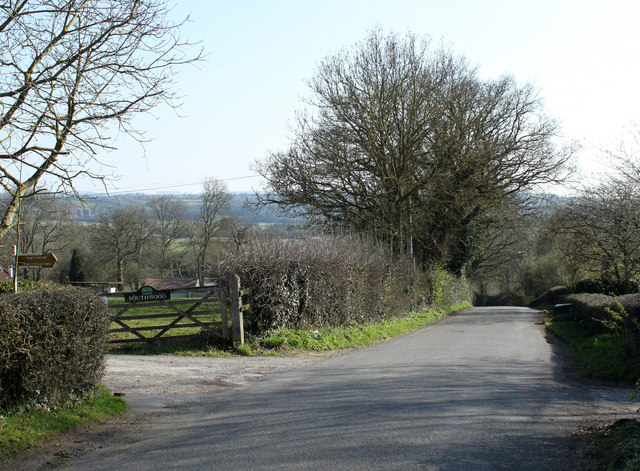
Image: © Maurice Pullin Taken: 20 Mar 2011
Drives to private properties form a crossroads. Ram Hill is a former mining community, coal was mined here from the 14th century until around 1860. More information in http://en.wikipedia.org/wiki/Ram_Hill
Images are licensed for reuse under creativecommons.org/licenses/by-sa/2.0
Image Location
Latitude
51.515389
Longitude
-2.46514