Woodland and pasture, Shirburn
Introduction
The photograph on this page of Woodland and pasture, Shirburn by Andrew Smith as part of the Geograph project.
The Geograph project started in 2005 with the aim of publishing, organising and preserving representative images for every square kilometre of Great Britain, Ireland and the Isle of Man.

There are currently over 7.5m images from over 14,400 individuals and you can help contribute to the project by visiting https://www.geograph.org.uk
Woodland and pasture, Shirburn
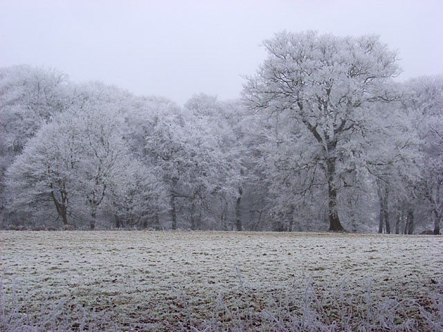
Image: © Andrew Smith Taken: 10 Jan 2009
The edge of Shirburn Wood viewed from the road near Shirburn Lodge. Freezing frost had decorated everything with a heavy hoar frost.
Images are licensed for reuse under creativecommons.org/licenses/by-sa/2.0
Image Location
Latitude
51.642685
Longitude
-0.966959