Langham Bridge
Introduction
The photograph on this page of Langham Bridge by Derek Harper as part of the Geograph project.
The Geograph project started in 2005 with the aim of publishing, organising and preserving representative images for every square kilometre of Great Britain, Ireland and the Isle of Man.

There are currently over 7.5m images from over 14,400 individuals and you can help contribute to the project by visiting https://www.geograph.org.uk
Langham Bridge
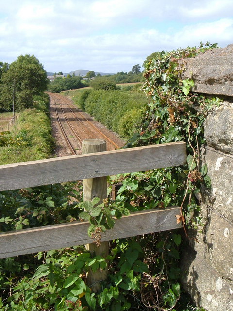
Image: © Derek Harper Taken: 3 Sep 2006
The main railway line from Exeter to Plymouth passes under this bridge which carries a track up to a couple of houses and to Henlake Down, above Ivybridge.
Images are licensed for reuse under creativecommons.org/licenses/by-sa/2.0
Image Location
Latitude
50.39491
Longitude
-3.938665