Springs Knoll
Introduction
The photograph on this page of Springs Knoll by Peter Barr as part of the Geograph project.
The Geograph project started in 2005 with the aim of publishing, organising and preserving representative images for every square kilometre of Great Britain, Ireland and the Isle of Man.

There are currently over 7.5m images from over 14,400 individuals and you can help contribute to the project by visiting https://www.geograph.org.uk
Springs Knoll
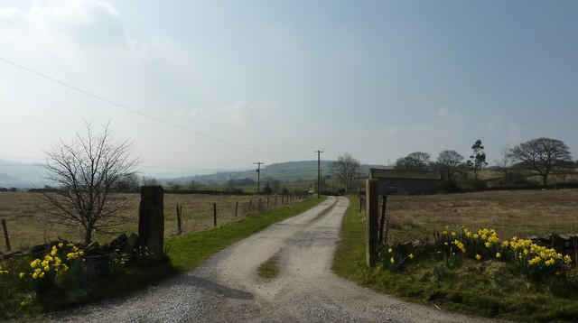
Image: © Peter Barr Taken: 28 Mar 2011
Farmhouse off Hollinsmoor Road. Countryside between New Mills, to the south, and Charleswort to the north.
Images are licensed for reuse under creativecommons.org/licenses/by-sa/2.0
Image Location
Latitude
53.399626
Longitude
-1.996953