Paddocks, Lower Burgate
Introduction
The photograph on this page of Paddocks, Lower Burgate by Maigheach-gheal as part of the Geograph project.
The Geograph project started in 2005 with the aim of publishing, organising and preserving representative images for every square kilometre of Great Britain, Ireland and the Isle of Man.

There are currently over 7.5m images from over 14,400 individuals and you can help contribute to the project by visiting https://www.geograph.org.uk
Paddocks, Lower Burgate
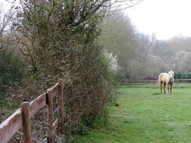
Image: © Maigheach-gheal Taken: 29 Mar 2011
This area near Fordingbridge has a large amount of pony paddocks and fields devoted to grazing equines.
Images are licensed for reuse under creativecommons.org/licenses/by-sa/2.0
Image Location
Latitude
50.93985
Longitude
-1.79913