Council Housing - Old Fallings Lane
Introduction
The photograph on this page of Council Housing - Old Fallings Lane by John M as part of the Geograph project.
The Geograph project started in 2005 with the aim of publishing, organising and preserving representative images for every square kilometre of Great Britain, Ireland and the Isle of Man.

There are currently over 7.5m images from over 14,400 individuals and you can help contribute to the project by visiting https://www.geograph.org.uk
Council Housing - Old Fallings Lane
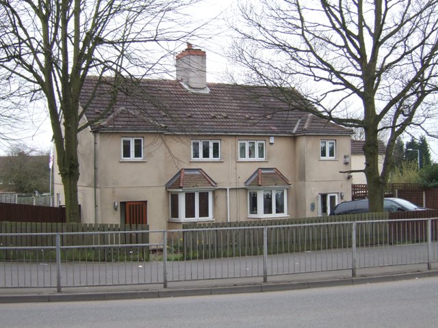
Image: © John M Taken: 27 Mar 2011
Concrete houses dating from late 1920s.
Images are licensed for reuse under creativecommons.org/licenses/by-sa/2.0
Image Location
Latitude
52.61626
Longitude
-2.110582