Footpath junction near Martin Mill
Introduction
The photograph on this page of Footpath junction near Martin Mill by David Anstiss as part of the Geograph project.
The Geograph project started in 2005 with the aim of publishing, organising and preserving representative images for every square kilometre of Great Britain, Ireland and the Isle of Man.

There are currently over 7.5m images from over 14,400 individuals and you can help contribute to the project by visiting https://www.geograph.org.uk
Footpath junction near Martin Mill
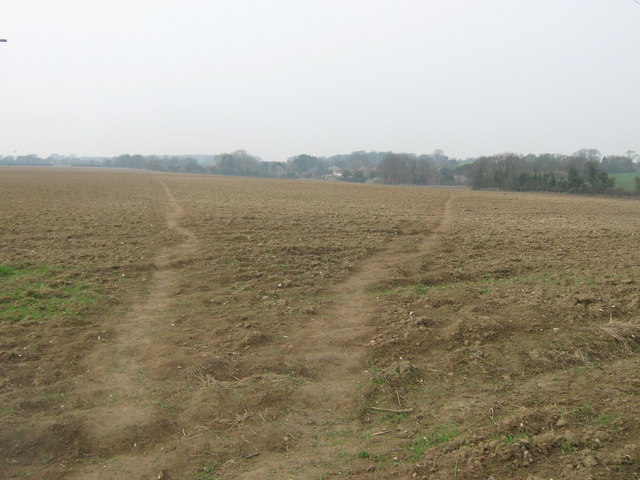
Image: © David Anstiss Taken: 27 Mar 2011
A path leads from Martin Mill straight on through the field towards a road from White Hill to East Langdon. The other path leading right leads to The Street also in East Langdon.
Images are licensed for reuse under creativecommons.org/licenses/by-sa/2.0
Image Location
Latitude
51.168802
Longitude
1.344576