Penge East station
Introduction
The photograph on this page of Penge East station by Marathon as part of the Geograph project.
The Geograph project started in 2005 with the aim of publishing, organising and preserving representative images for every square kilometre of Great Britain, Ireland and the Isle of Man.

There are currently over 7.5m images from over 14,400 individuals and you can help contribute to the project by visiting https://www.geograph.org.uk
Penge East station
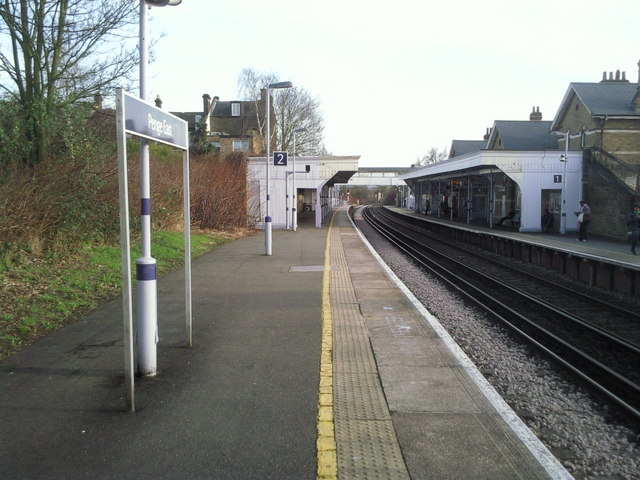
Image: © Marathon Taken: 24 Feb 2011
The station was built by the London, Chatham and Dover Railway and opened on 1 July 1863. It was originally known as Penge (LCDR) or Penge Lane and was renamed Penge East in 1923. This view looks down the line away from London.
Images are licensed for reuse under creativecommons.org/licenses/by-sa/2.0
Image Location
Latitude
51.418967
Longitude
-0.053876