Penge East station looking towards Penge Tunnel
Introduction
The photograph on this page of Penge East station looking towards Penge Tunnel by Marathon as part of the Geograph project.
The Geograph project started in 2005 with the aim of publishing, organising and preserving representative images for every square kilometre of Great Britain, Ireland and the Isle of Man.

There are currently over 7.5m images from over 14,400 individuals and you can help contribute to the project by visiting https://www.geograph.org.uk
Penge East station looking towards Penge Tunnel
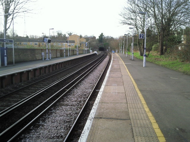
Image: © Marathon Taken: 24 Feb 2011
The station was built by the London, Chatham and Dover Railway and opened on 1 July 1863. It was originally known as Penge (LCDR) or Penge Lane and was renamed Penge East in 1923. In the distance is Penge Tunnel, which at more than a mile long was the longest non Underground railway tunnel in London before the High Speed 1 line out of St Pancras International came into operation. By coincidence Eurostars travelled through Penge Tunnel on their way from Waterloo International to the Channel Tunnel up until 2007 when St Pancras International station opened.
Images are licensed for reuse under creativecommons.org/licenses/by-sa/2.0
Image Location
Latitude
51.420443
Longitude
-0.056115