2011 : South west from Ram Hill
Introduction
The photograph on this page of 2011 : South west from Ram Hill by Maurice Pullin as part of the Geograph project.
The Geograph project started in 2005 with the aim of publishing, organising and preserving representative images for every square kilometre of Great Britain, Ireland and the Isle of Man.

There are currently over 7.5m images from over 14,400 individuals and you can help contribute to the project by visiting https://www.geograph.org.uk
2011 : South west from Ram Hill
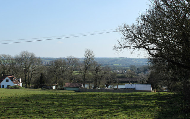
Image: © Maurice Pullin Taken: 20 Mar 2011
The view is in the direction of Pucklechurch, a little left of centre though there is little to be seen of it. Also not easily seen, partly hidden by the smaller tree left of centre is Freezing Hill Image which can be seen in the larger version.
Images are licensed for reuse under creativecommons.org/licenses/by-sa/2.0
Image Location
Latitude
51.514945
Longitude
-2.463694