Croydon: Whitehorse Road
Introduction
The photograph on this page of Croydon: Whitehorse Road by Dr Neil Clifton as part of the Geograph project.
The Geograph project started in 2005 with the aim of publishing, organising and preserving representative images for every square kilometre of Great Britain, Ireland and the Isle of Man.

There are currently over 7.5m images from over 14,400 individuals and you can help contribute to the project by visiting https://www.geograph.org.uk
Croydon: Whitehorse Road
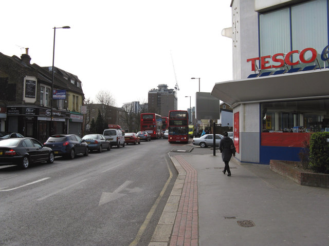
Image: © Dr Neil Clifton Taken: 28 Mar 2011
Looking south. On the right, a 'Tesco Express' has replaced the 'Gloster' public house, and even though this was several years ago, the complex intersection here is still known by the name of the pub. Whitehorse Road is always busy, day and night, as it forms part of probably the most convenient route from London to Croydon.
Images are licensed for reuse under creativecommons.org/licenses/by-sa/2.0
Image Location
Latitude
51.385682
Longitude
-0.096968