The Stag Inn, Bagillt
Introduction
The photograph on this page of The Stag Inn, Bagillt by clive dyke as part of the Geograph project.
The Geograph project started in 2005 with the aim of publishing, organising and preserving representative images for every square kilometre of Great Britain, Ireland and the Isle of Man.

There are currently over 7.5m images from over 14,400 individuals and you can help contribute to the project by visiting https://www.geograph.org.uk
The Stag Inn, Bagillt
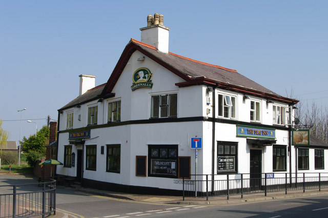
Image: © clive dyke Taken: 28 Mar 2011
A public house situated between the High Street and the A548 in the centre of Bagillt, Flintshire, North Wales
Images are licensed for reuse under creativecommons.org/licenses/by-sa/2.0
Image Location
Latitude
53.268935
Longitude
-3.170693