The Lane at Wall Hill, near Corley
Introduction
The photograph on this page of The Lane at Wall Hill, near Corley by John Evans as part of the Geograph project.
The Geograph project started in 2005 with the aim of publishing, organising and preserving representative images for every square kilometre of Great Britain, Ireland and the Isle of Man.

There are currently over 7.5m images from over 14,400 individuals and you can help contribute to the project by visiting https://www.geograph.org.uk
The Lane at Wall Hill, near Corley
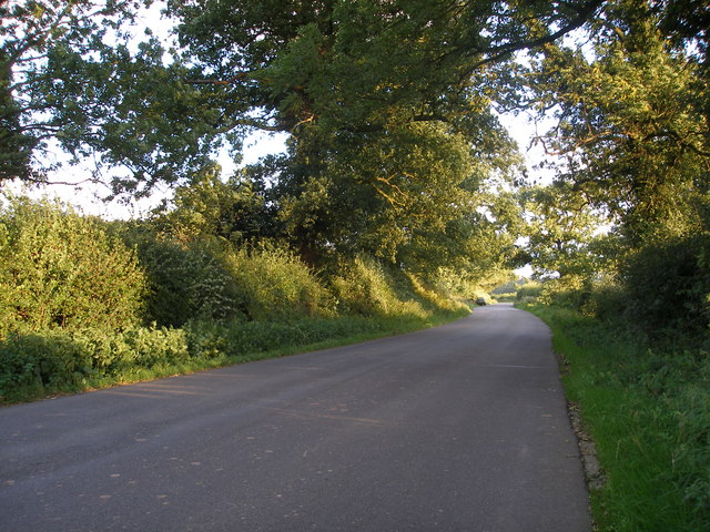
Image: © John Evans Taken: 3 Sep 2006
This stretch of lane cuts through the corner of this square. Behind the photographer is a cottage and a line of pylons, and just beyond the car in the photograph the road forks to Brownshill Green and Hawkes End.
Images are licensed for reuse under creativecommons.org/licenses/by-sa/2.0
Image Location
Latitude
52.453191
Longitude
-1.574687