Last days of the New Highcroft
Introduction
The photograph on this page of Last days of the New Highcroft by John M as part of the Geograph project.
The Geograph project started in 2005 with the aim of publishing, organising and preserving representative images for every square kilometre of Great Britain, Ireland and the Isle of Man.

There are currently over 7.5m images from over 14,400 individuals and you can help contribute to the project by visiting https://www.geograph.org.uk
Last days of the New Highcroft
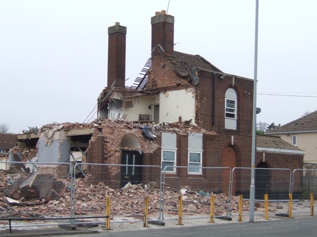
Image: © John M Taken: 27 Mar 2011
The locally listed public house on the 1930s council estate is being demolished to make way for a care home. Local residents are pleased to see it go.Image]
Images are licensed for reuse under creativecommons.org/licenses/by-sa/2.0
Image Location
Latitude
52.612939
Longitude
-2.104224