Six lane ends, Alderley Edge
Introduction
The photograph on this page of Six lane ends, Alderley Edge by Peter Turner as part of the Geograph project.
The Geograph project started in 2005 with the aim of publishing, organising and preserving representative images for every square kilometre of Great Britain, Ireland and the Isle of Man.

There are currently over 7.5m images from over 14,400 individuals and you can help contribute to the project by visiting https://www.geograph.org.uk
Six lane ends, Alderley Edge
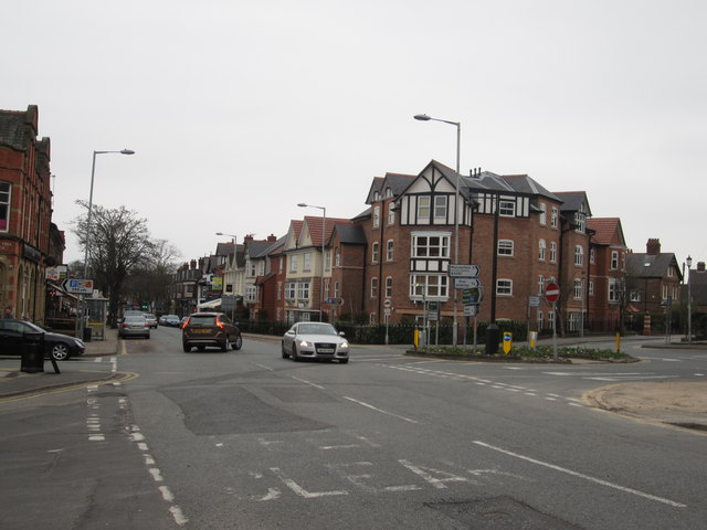
Image: © Peter Turner Taken: 26 Mar 2011
In the days before the bypass inception the view of the roads, here from outside the de Trafford Arms, would have been cluttered with vehicles either whizzing up and down the A34 as it then was or locked in a jam with vehicles negotiating the complex junction.
Images are licensed for reuse under creativecommons.org/licenses/by-sa/2.0
Image Location
Latitude
53.300338
Longitude
-2.235835