Silverhill Wood
Introduction
The photograph on this page of Silverhill Wood by Peter Barr as part of the Geograph project.
The Geograph project started in 2005 with the aim of publishing, organising and preserving representative images for every square kilometre of Great Britain, Ireland and the Isle of Man.

There are currently over 7.5m images from over 14,400 individuals and you can help contribute to the project by visiting https://www.geograph.org.uk
Silverhill Wood
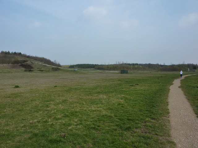
Image: © Peter Barr Taken: 25 Mar 2011
An area of reclaimed colliery land, this is mixed woodland, still quite young, open spaces, grassland and ponds.Silverhill Colliery opened in 1875 and closed in 1992.
Images are licensed for reuse under creativecommons.org/licenses/by-sa/2.0
Image Location
Latitude
53.149456
Longitude
-1.295712