The end of Whistle Way at Enderby
Introduction
The photograph on this page of The end of Whistle Way at Enderby by Mat Fascione as part of the Geograph project.
The Geograph project started in 2005 with the aim of publishing, organising and preserving representative images for every square kilometre of Great Britain, Ireland and the Isle of Man.

There are currently over 7.5m images from over 14,400 individuals and you can help contribute to the project by visiting https://www.geograph.org.uk
The end of Whistle Way at Enderby
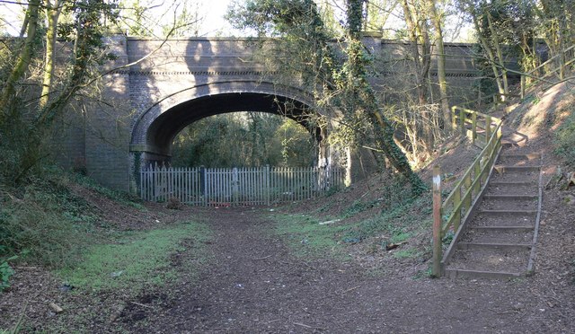
Image: © Mat Fascione Taken: 19 Mar 2011
Public footpath and cycleway along an old railway line, the bridge carries Seine Lane.
Images are licensed for reuse under creativecommons.org/licenses/by-sa/2.0
Image Location
Latitude
52.590451
Longitude
-1.218498