Bas-relief, Dartmouth
Introduction
The photograph on this page of Bas-relief, Dartmouth by Derek Harper as part of the Geograph project.
The Geograph project started in 2005 with the aim of publishing, organising and preserving representative images for every square kilometre of Great Britain, Ireland and the Isle of Man.

There are currently over 7.5m images from over 14,400 individuals and you can help contribute to the project by visiting https://www.geograph.org.uk
Bas-relief, Dartmouth
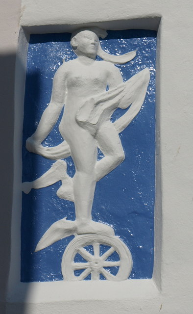
Image: © Derek Harper Taken: 20 Mar 2011
Decorating a house on the vehicle ferry slipway; "bas-relief of a nymph standing on a wheel" http://www.britishlistedbuildings.co.uk/en-387358-no-3-sunderland-terrace-dartmouth . It's not clear from the description above from which era the bas-relief dates, but it looks modern.
Images are licensed for reuse under creativecommons.org/licenses/by-sa/2.0
Image Location
Latitude
50.349013
Longitude
-3.577658