River Bann at Milltown, Lenaderg
Introduction
The photograph on this page of River Bann at Milltown, Lenaderg by Albert Bridge as part of the Geograph project.
The Geograph project started in 2005 with the aim of publishing, organising and preserving representative images for every square kilometre of Great Britain, Ireland and the Isle of Man.

There are currently over 7.5m images from over 14,400 individuals and you can help contribute to the project by visiting https://www.geograph.org.uk
River Bann at Milltown, Lenaderg
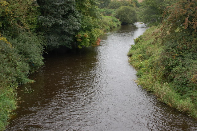
Image: © Albert Bridge Taken: 3 Sep 2006
After flowing through Banbridge and Seapatrick the River Bann reaches Lenaderg. It is still narrow but has already passed most of the sites of its former glory days when it was used to power the (now closed) linen mills. This is the view downstream from the bridge at Lenaderg.
Images are licensed for reuse under creativecommons.org/licenses/by-sa/2.0
Image Location


Leaflet Map data © OpenStreetMap
Latitude
54.372958
Longitude
-6.285029