Sands and dunes at Aberavon
Introduction
The photograph on this page of Sands and dunes at Aberavon by eswales as part of the Geograph project.
The Geograph project started in 2005 with the aim of publishing, organising and preserving representative images for every square kilometre of Great Britain, Ireland and the Isle of Man.

There are currently over 7.5m images from over 14,400 individuals and you can help contribute to the project by visiting https://www.geograph.org.uk
Sands and dunes at Aberavon
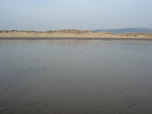
Image: © eswales Taken: Unknown
A photograph taken towards the southeastern end of a long line of dunes backing some of the sands at Aberavon. These run continuously from here to Witford Point, a mile or so to the north west.
Images are licensed for reuse under creativecommons.org/licenses/by-sa/2.0
Image Location
Latitude
51.602305
Longitude
-3.835302