London EC1: Farringdon Lane
Introduction
The photograph on this page of London EC1: Farringdon Lane by Dr Neil Clifton as part of the Geograph project.
The Geograph project started in 2005 with the aim of publishing, organising and preserving representative images for every square kilometre of Great Britain, Ireland and the Isle of Man.

There are currently over 7.5m images from over 14,400 individuals and you can help contribute to the project by visiting https://www.geograph.org.uk
London EC1: Farringdon Lane
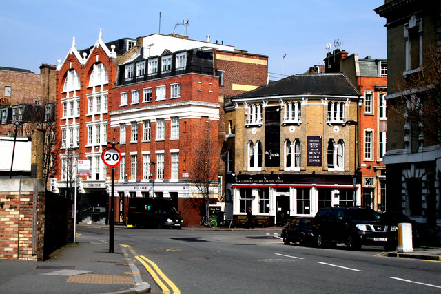
Image: © Dr Neil Clifton Taken: 25 Mar 2011
Looking north,from the north end of Turnmill Street, across Clerkenwell Road to Farringdon Lane.
Images are licensed for reuse under creativecommons.org/licenses/by-sa/2.0
Image Location
Latitude
51.522979
Longitude
-0.106818