Road sign, Batford
Introduction
The photograph on this page of Road sign, Batford by Ian Capper as part of the Geograph project.
The Geograph project started in 2005 with the aim of publishing, organising and preserving representative images for every square kilometre of Great Britain, Ireland and the Isle of Man.

There are currently over 7.5m images from over 14,400 individuals and you can help contribute to the project by visiting https://www.geograph.org.uk
Road sign, Batford
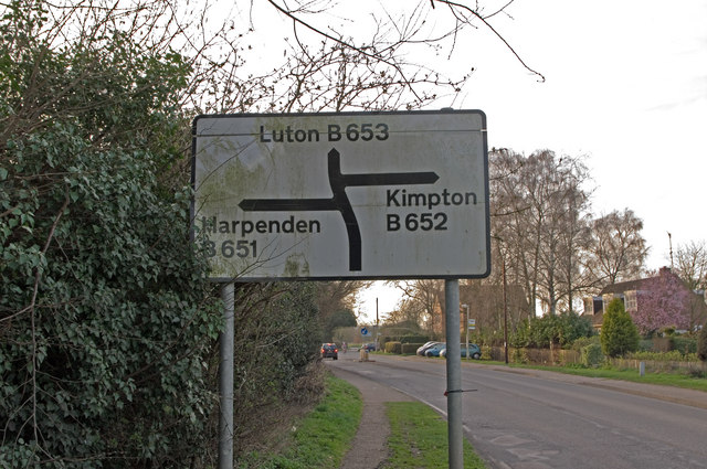
Image: © Ian Capper Taken: 24 Mar 2011
What is at first sight an ordinary road sign, on the approach to the staggered junction at the west end of Batford. The problem is that the road to the left, whilst it does go to Harpenden, is not the B651, nor does it lead to, or go anywhere near, the B651, which is a north-south road some three miles to the east. It is not even a "B" road, being unclassified.
Images are licensed for reuse under creativecommons.org/licenses/by-sa/2.0
Image Location
Latitude
51.83052
Longitude
-0.346141