Bridgewater Canal
Introduction
The photograph on this page of Bridgewater Canal by David Dixon as part of the Geograph project.
The Geograph project started in 2005 with the aim of publishing, organising and preserving representative images for every square kilometre of Great Britain, Ireland and the Isle of Man.

There are currently over 7.5m images from over 14,400 individuals and you can help contribute to the project by visiting https://www.geograph.org.uk
Bridgewater Canal
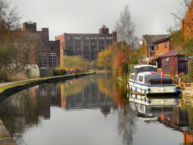
Image: © David Dixon Taken: 24 Mar 2011
Looking west along the Bridgewater Canal at Leigh. The photograph was taken from close to the back of Image In front to the left, part of Image] can be seen; whilst ahead is the large frame of Image The large number of mill in this part of the town is a reminder of the town's industrial past; in 1911, more than 6,000 people were employed in the textiles industry in Leigh.
Images are licensed for reuse under creativecommons.org/licenses/by-sa/2.0
Image Location
Latitude
53.492479
Longitude
-2.507001