Houses along Dousland Road
Introduction
The photograph on this page of Houses along Dousland Road by Sarah Smith as part of the Geograph project.
The Geograph project started in 2005 with the aim of publishing, organising and preserving representative images for every square kilometre of Great Britain, Ireland and the Isle of Man.

There are currently over 7.5m images from over 14,400 individuals and you can help contribute to the project by visiting https://www.geograph.org.uk
Houses along Dousland Road
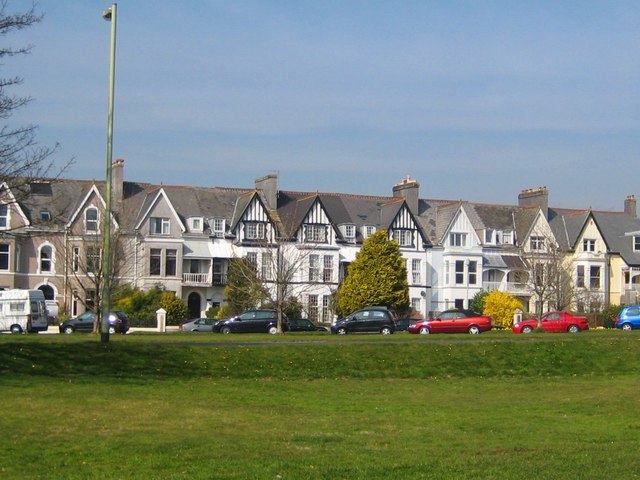
Image: © Sarah Smith Taken: 24 Mar 2011
These terraced houses were built from about 1885 when the railway reached Yelverton bringing people out from Plymouth to this side of Dartmoor.
Images are licensed for reuse under creativecommons.org/licenses/by-sa/2.0
Image Location
Latitude
50.492752
Longitude
-4.085071