Bethel Evangelical Church, Nelson, from the south
Introduction
The photograph on this page of Bethel Evangelical Church, Nelson, from the south by Jaggery as part of the Geograph project.
The Geograph project started in 2005 with the aim of publishing, organising and preserving representative images for every square kilometre of Great Britain, Ireland and the Isle of Man.

There are currently over 7.5m images from over 14,400 individuals and you can help contribute to the project by visiting https://www.geograph.org.uk
Bethel Evangelical Church, Nelson, from the south
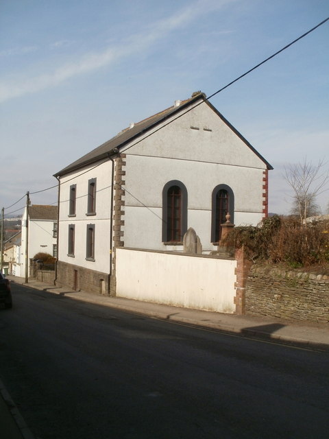
Image: © Jaggery Taken: 17 Mar 2011
The church http://www.geograph.org.uk/photo/2318456 and part of the small graveyard viewed across Heol Fawr.
Images are licensed for reuse under creativecommons.org/licenses/by-sa/2.0
Image Location
Latitude
51.648604
Longitude
-3.280531