Rambler's Rest, Chislehurst
Introduction
The photograph on this page of Rambler's Rest, Chislehurst by Malc McDonald as part of the Geograph project.
The Geograph project started in 2005 with the aim of publishing, organising and preserving representative images for every square kilometre of Great Britain, Ireland and the Isle of Man.

There are currently over 7.5m images from over 14,400 individuals and you can help contribute to the project by visiting https://www.geograph.org.uk
Rambler's Rest, Chislehurst
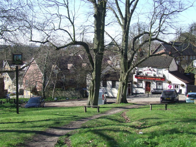
Image: © Malc McDonald Taken: 19 Mar 2011
The Rambler's Rest is believed to date from 1800. At that time, Chislehurst would have been a rural settlement. The railway, which links Chislehurst to Central London, would only have been built later in the 19th Century.
Images are licensed for reuse under creativecommons.org/licenses/by-sa/2.0
Image Location
Latitude
51.409672
Longitude
0.063642