Upper Rock Gardens
Introduction
The photograph on this page of Upper Rock Gardens by Simon Carey as part of the Geograph project.
The Geograph project started in 2005 with the aim of publishing, organising and preserving representative images for every square kilometre of Great Britain, Ireland and the Isle of Man.

There are currently over 7.5m images from over 14,400 individuals and you can help contribute to the project by visiting https://www.geograph.org.uk
Upper Rock Gardens
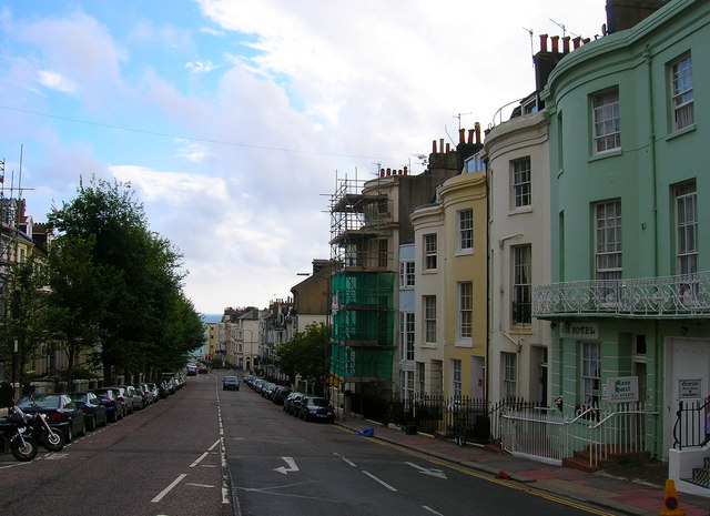
Image: © Simon Carey Taken: 1 Sep 2006
Head south a little from the road junction down Upper Rock Gardens. The western side was developed from 1820 onwards while the eastern side had to wait until 1879 as the land was part of the Earl of Egremont's East Lodge Gardens. Click on the link to take you to the next page. http://www.geograph.org.uk/photo/232067
Images are licensed for reuse under creativecommons.org/licenses/by-sa/2.0
Image Location
Latitude
50.820553
Longitude
-0.130258