Kilgad Road
Introduction
The photograph on this page of Kilgad Road by Kenneth Allen as part of the Geograph project.
The Geograph project started in 2005 with the aim of publishing, organising and preserving representative images for every square kilometre of Great Britain, Ireland and the Isle of Man.

There are currently over 7.5m images from over 14,400 individuals and you can help contribute to the project by visiting https://www.geograph.org.uk
Kilgad Road
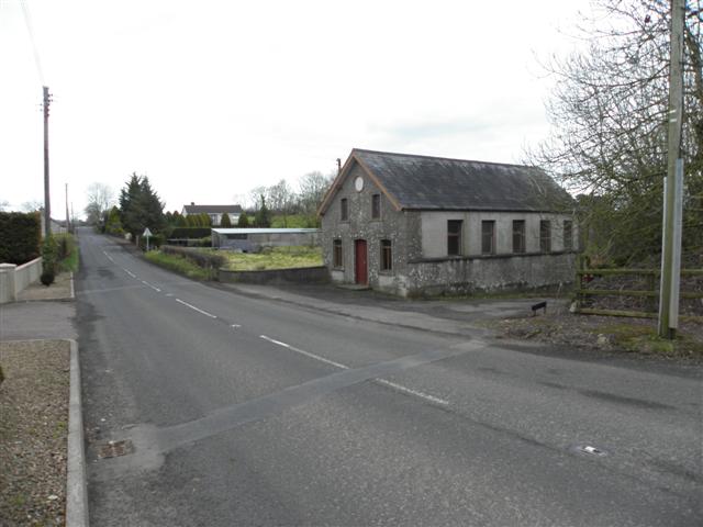
Image: © Kenneth Allen Taken: 21 Mar 2011
Looking ENE; on the right is Upper Tawnybrake National School which was erected in 1896 Image] See close-up of plaque here Image]
Images are licensed for reuse under creativecommons.org/licenses/by-sa/2.0
Image Location
Latitude
54.822291
Longitude
-6.187613