Bon-O-Phool
Introduction
The photograph on this page of Bon-O-Phool by Jonathan Kington as part of the Geograph project.
The Geograph project started in 2005 with the aim of publishing, organising and preserving representative images for every square kilometre of Great Britain, Ireland and the Isle of Man.

There are currently over 7.5m images from over 14,400 individuals and you can help contribute to the project by visiting https://www.geograph.org.uk
Bon-O-Phool
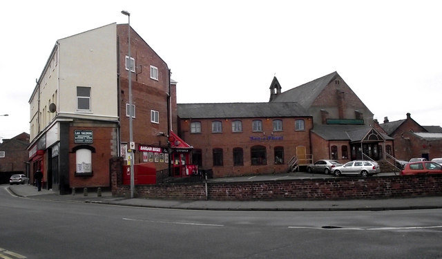
Image: © Jonathan Kington Taken: 20 Mar 2011
Located on the corner of Mill Street and Antrobus Street, Bon-O-Phool is an Indian restaurant and take-away. The rear of the Image on Cross Street is visible too.
Images are licensed for reuse under creativecommons.org/licenses/by-sa/2.0
Image Location
Latitude
53.164782
Longitude
-2.214419