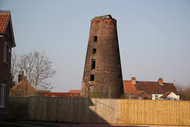
Hewson's Mill
Introduction
The photograph on this page of Hewson's Mill by Richard Croft as part of the Geograph project.
The Geograph project started in 2005 with the aim of publishing, organising and preserving representative images for every square kilometre of Great Britain, Ireland and the Isle of Man.
There are currently over 7.5m images from over 14,400 individuals and you can help contribute to the project by visiting https://www.geograph.org.uk

Image: © Richard Croft Taken: 8 Mar 2011
Some of the land off Hewson's Lane has been developed http://www.geograph.org.uk/photo/1161104 and named Mill View, though the actual mill view is partially obscured by a high fence. The derelict seven storey, former 4-sailed tower mill was built in 1813 and worked by wind until some time after WW1, assisted when required by an engine installed in the 1840s. Curiously, it isn't shown on 1:50,000 or 1:25,000 OS maps

