The east end of St Mary's Dodleston
Introduction
The photograph on this page of The east end of St Mary's Dodleston by John S Turner as part of the Geograph project.
The Geograph project started in 2005 with the aim of publishing, organising and preserving representative images for every square kilometre of Great Britain, Ireland and the Isle of Man.

There are currently over 7.5m images from over 14,400 individuals and you can help contribute to the project by visiting https://www.geograph.org.uk
The east end of St Mary's Dodleston
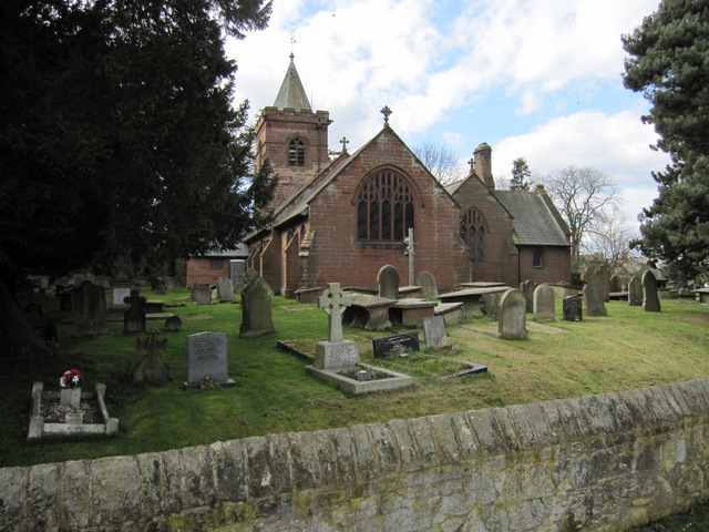
Image: © John S Turner Taken: 19 Mar 2011
Looking towards the east end of St Mary's from the playground just outside the churchyard wall. The 16th century church was rebuilt in 1870 by Chester architect John Douglas and it is Grade II listed http://www.britishlistedbuildings.co.uk/en-55226-church-of-st-mary-dodleston
Images are licensed for reuse under creativecommons.org/licenses/by-sa/2.0
Image Location
Latitude
53.141591
Longitude
-2.955235