Stranded Railway Bridge
Introduction
The photograph on this page of Stranded Railway Bridge by Keith Burns as part of the Geograph project.
The Geograph project started in 2005 with the aim of publishing, organising and preserving representative images for every square kilometre of Great Britain, Ireland and the Isle of Man.

There are currently over 7.5m images from over 14,400 individuals and you can help contribute to the project by visiting https://www.geograph.org.uk
Stranded Railway Bridge
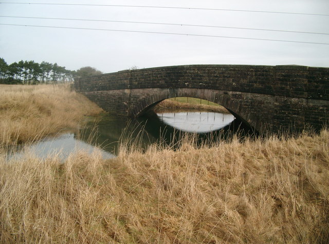
Image: © Keith Burns Taken: 16 Mar 2011
Well preserved stone arch bridge carries the unclassified road from Bonnington Linn to Douglas Water over the flooded cutting of the old Caledonian Railway line from Lanark to Poniel Junction. The adjacent landscape has ploughed and cultivated the line of the railway into total oblivion, with only this fossil trace of our railway heritage hereabouts. The resultant pond is a biologist's and swimmer's dream location.
Images are licensed for reuse under creativecommons.org/licenses/by-sa/2.0
Image Location
Latitude
55.597929
Longitude
-3.810744