Rochdale: Two more defunct pubs
Introduction
The photograph on this page of Rochdale: Two more defunct pubs by Dr Neil Clifton as part of the Geograph project.
The Geograph project started in 2005 with the aim of publishing, organising and preserving representative images for every square kilometre of Great Britain, Ireland and the Isle of Man.

There are currently over 7.5m images from over 14,400 individuals and you can help contribute to the project by visiting https://www.geograph.org.uk
Rochdale: Two more defunct pubs
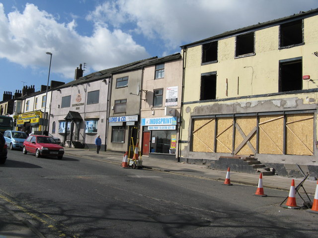
Image: © Dr Neil Clifton Taken: 18 Mar 2011
On Drake Street, near the top of Maclure Road. The left hand pub was the 'Nevigation' and the name is still displayed. The other one, now quite derelict, was the 'Woolpack'.
Images are licensed for reuse under creativecommons.org/licenses/by-sa/2.0
Image Location
Latitude
53.612459
Longitude
-2.156555