Sipson: King William IV pub
Introduction
The photograph on this page of Sipson: King William IV pub by Nigel Cox as part of the Geograph project.
The Geograph project started in 2005 with the aim of publishing, organising and preserving representative images for every square kilometre of Great Britain, Ireland and the Isle of Man.

There are currently over 7.5m images from over 14,400 individuals and you can help contribute to the project by visiting https://www.geograph.org.uk
Sipson: King William IV pub
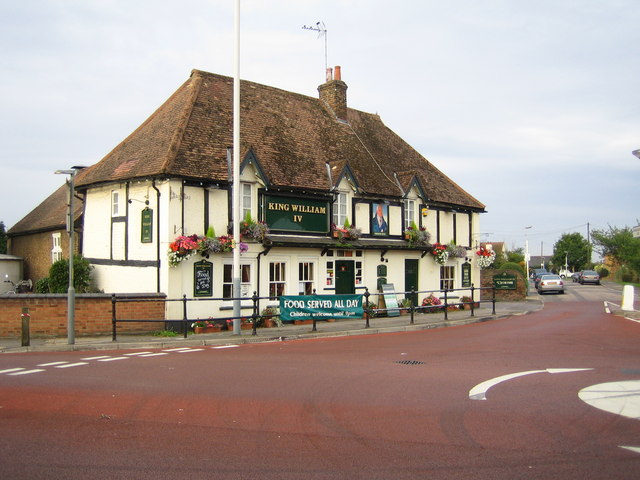
Image: © Nigel Cox Taken: 2 Sep 2006
This pub is at the junction of the A408 Sipson Road with Harmondsworth Lane. However Sipson's 700 homes, shops, pubs, small businesses and school will be buried under taxiways, terminals, concourses and car parks by 2020 if this year's government review of its 2003 Aviation White Paper approves a Third Runway at Heathrow Airport. The No Third Runway Action Group website is here http://www.notrag.org/index.php
Images are licensed for reuse under creativecommons.org/licenses/by-sa/2.0
Image Location
Latitude
51.489915
Longitude
-0.458791