2011 : River Wylye south of Upton Lovell
Introduction
The photograph on this page of 2011 : River Wylye south of Upton Lovell by Maurice Pullin as part of the Geograph project.
The Geograph project started in 2005 with the aim of publishing, organising and preserving representative images for every square kilometre of Great Britain, Ireland and the Isle of Man.

There are currently over 7.5m images from over 14,400 individuals and you can help contribute to the project by visiting https://www.geograph.org.uk
2011 : River Wylye south of Upton Lovell
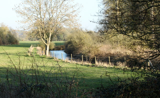
Image: © Maurice Pullin Taken: 7 Mar 2011
East of Corton. Crosses the valley north to south between the two villages.
Images are licensed for reuse under creativecommons.org/licenses/by-sa/2.0
Image Location
Latitude
51.160032
Longitude
-2.081603