Houses in Stantonbury
Introduction
The photograph on this page of Houses in Stantonbury by Derek Harper as part of the Geograph project.
The Geograph project started in 2005 with the aim of publishing, organising and preserving representative images for every square kilometre of Great Britain, Ireland and the Isle of Man.

There are currently over 7.5m images from over 14,400 individuals and you can help contribute to the project by visiting https://www.geograph.org.uk
Houses in Stantonbury
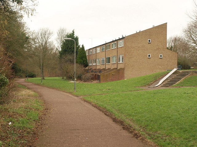
Image: © Derek Harper Taken: 4 Feb 2011
A terrace of eight houses on Ashfield, backing onto this stream-side path north of Wood End School.
Images are licensed for reuse under creativecommons.org/licenses/by-sa/2.0
Image Location
Latitude
52.067698
Longitude
-0.769861