Path, Stantonbury
Introduction
The photograph on this page of Path, Stantonbury by Derek Harper as part of the Geograph project.
The Geograph project started in 2005 with the aim of publishing, organising and preserving representative images for every square kilometre of Great Britain, Ireland and the Isle of Man.

There are currently over 7.5m images from over 14,400 individuals and you can help contribute to the project by visiting https://www.geograph.org.uk
Path, Stantonbury
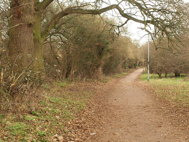
Image: © Derek Harper Taken: 4 Feb 2011
You're never all that far from somewhere vaguely semi-rural in Milton Keynes, and these trees have been here far longer than the estates that surround them. The path is heading towards Wood End School.
Images are licensed for reuse under creativecommons.org/licenses/by-sa/2.0
Image Location
Latitude
52.062772
Longitude
-0.771747