Disused Pits in Lamdoughty Forest
Introduction
The photograph on this page of Disused Pits in Lamdoughty Forest by Mary and Angus Hogg as part of the Geograph project.
The Geograph project started in 2005 with the aim of publishing, organising and preserving representative images for every square kilometre of Great Britain, Ireland and the Isle of Man.

There are currently over 7.5m images from over 14,400 individuals and you can help contribute to the project by visiting https://www.geograph.org.uk
Disused Pits in Lamdoughty Forest
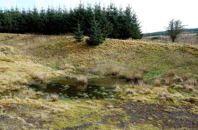
Image: © Mary and Angus Hogg Taken: 19 Mar 2011
The Explorer map shows this feature as disused pits. They are now a small wetland area.
Images are licensed for reuse under creativecommons.org/licenses/by-sa/2.0
Image Location
Latitude
55.183901
Longitude
-4.743533