Cycle Path
Introduction
The photograph on this page of Cycle Path by Robert Wade as part of the Geograph project.
The Geograph project started in 2005 with the aim of publishing, organising and preserving representative images for every square kilometre of Great Britain, Ireland and the Isle of Man.

There are currently over 7.5m images from over 14,400 individuals and you can help contribute to the project by visiting https://www.geograph.org.uk
Cycle Path
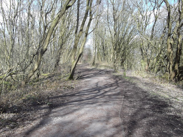
Image: © Robert Wade Taken: 18 Mar 2011
In the distance you can see the security fencing designed to keep people off the viaduct
Images are licensed for reuse under creativecommons.org/licenses/by-sa/2.0
Image Location
Latitude
53.673342
Longitude
-2.32026