Maes-y-Derwen near Nelson
Introduction
The photograph on this page of Maes-y-Derwen near Nelson by Jaggery as part of the Geograph project.
The Geograph project started in 2005 with the aim of publishing, organising and preserving representative images for every square kilometre of Great Britain, Ireland and the Isle of Man.

There are currently over 7.5m images from over 14,400 individuals and you can help contribute to the project by visiting https://www.geograph.org.uk
Maes-y-Derwen near Nelson
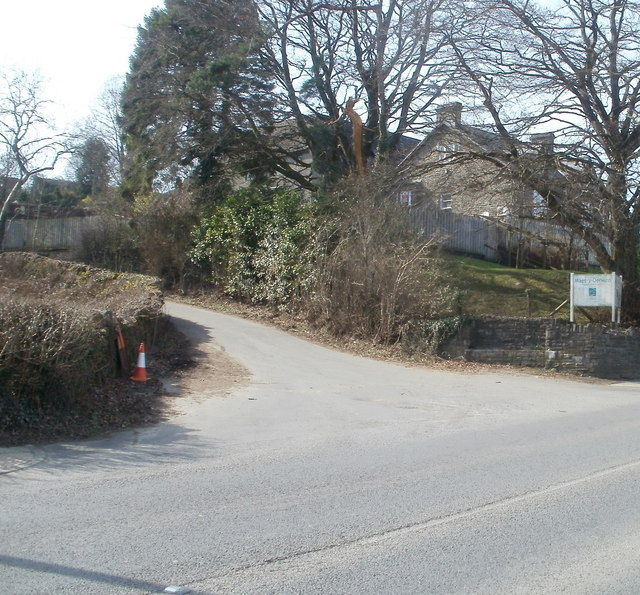
Image: © Jaggery Taken: 17 Mar 2011
A Craegmoor Healthcare independent hospital, located on the SW side of the A472, on the corner of Heol Fawr (the road to Wern-isaf Farm). The name board shows Maes-y-Derwen, though the correct Welsh form is Maes-y-dderwen (field of oaks).
Images are licensed for reuse under creativecommons.org/licenses/by-sa/2.0
Image Location
Latitude
51.644328
Longitude
-3.260176