Gloucester Road
Introduction
The photograph on this page of Gloucester Road by Simon Carey as part of the Geograph project.
The Geograph project started in 2005 with the aim of publishing, organising and preserving representative images for every square kilometre of Great Britain, Ireland and the Isle of Man.

There are currently over 7.5m images from over 14,400 individuals and you can help contribute to the project by visiting https://www.geograph.org.uk
Gloucester Road
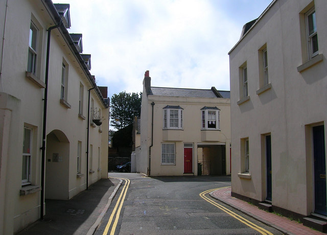
Image: © Simon Carey Taken: 1 Sep 2006
Head west up North Road then south down Cheltenham Place then east down Gloucester Road. This right angled turn is at the bottom of the road originally prevented entering the northern edge of the Steine by existing houses. Gloucester Road was built up of small artisans cottages in the 1840s needed by the workers on the railway and industrial concerns in this part of the town. Click on the link to take you to the next page. http://www.geograph.org.uk/photo/231258
Images are licensed for reuse under creativecommons.org/licenses/by-sa/2.0
Image Location
Latitude
50.826059
Longitude
-0.137138