A heavy hoarfrost over Dawstone Park
Introduction
The photograph on this page of A heavy hoarfrost over Dawstone Park by Tom Stapledon as part of the Geograph project.
The Geograph project started in 2005 with the aim of publishing, organising and preserving representative images for every square kilometre of Great Britain, Ireland and the Isle of Man.

There are currently over 7.5m images from over 14,400 individuals and you can help contribute to the project by visiting https://www.geograph.org.uk
A heavy hoarfrost over Dawstone Park
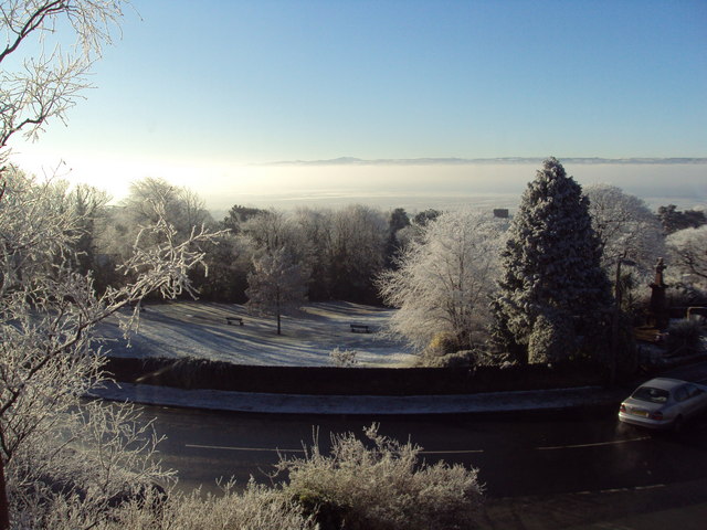
Image: © Tom Stapledon Taken: 6 Dec 2010
Dawstone Park, Lower Heswall with the Dee Estuary and Welsh Hills beyond. Taken 6/12/2010
Images are licensed for reuse under creativecommons.org/licenses/by-sa/2.0
Image Location


Leaflet Map data © OpenStreetMap
Latitude
53.322815
Longitude
-3.101004